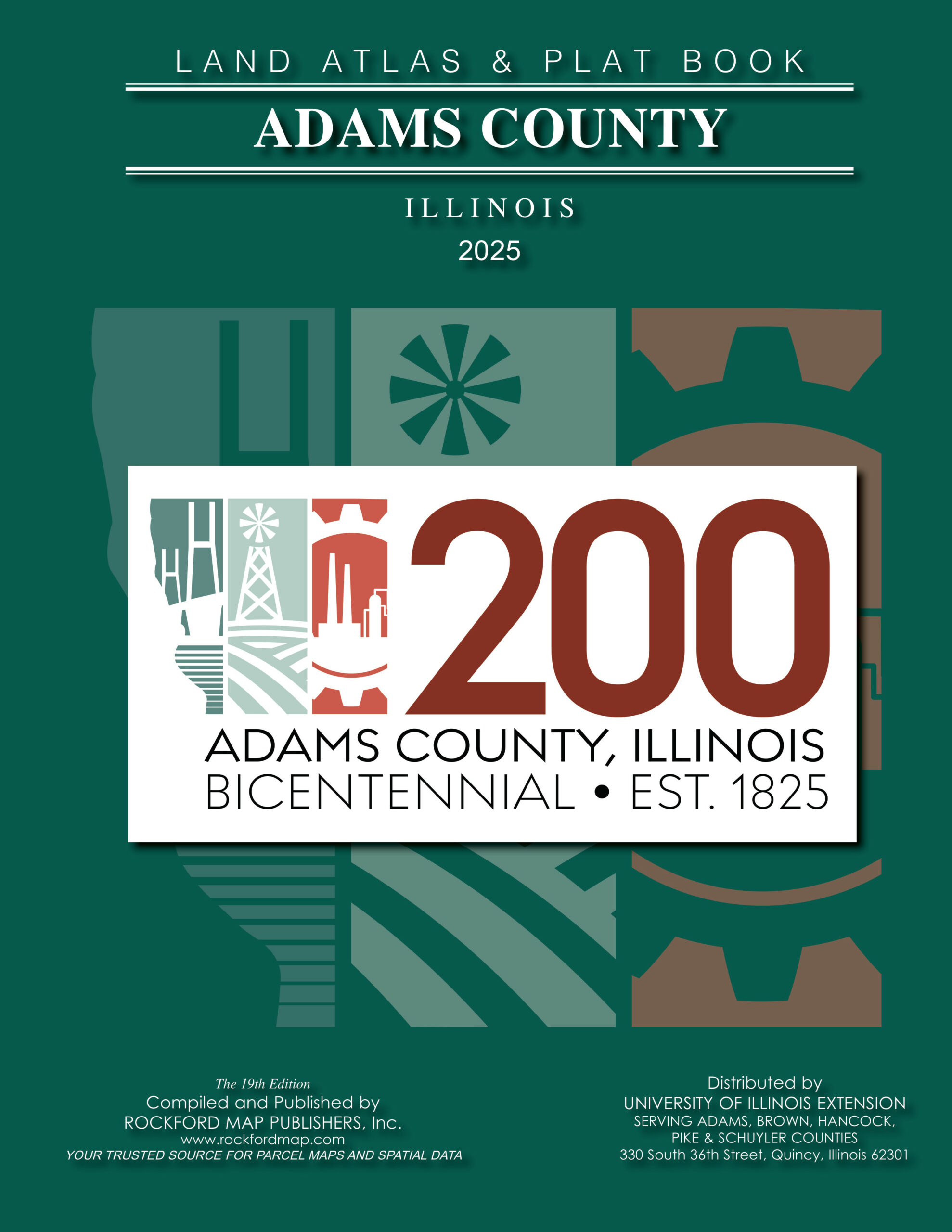
Adams County Land Atlas and Plat Book now available from University of Illinois Extension

QUINCY — Plat books are a reference tool for landowners and business owners. They serve as essential guides for agriculture, land development, hunting, real estate, utilities, municipal government and more. The latest edition, the 2025 Adams County Land Atlas and Plat Book, is now available with the Adams County Bicentennial logo on the front cover.
The new plat book features displays of parcel boundaries, acreage data, roads, waterways, railways, section lines, municipal boundaries and recreational areas. It includes an index of landowners. Each township parcel map is paired with a 3D aerial map, providing a visual reference for land use.
Published by Rockford Map Publishers, this edition can be bought from the University of Illinois Extension at 330 S 36th in Quincy. For inquiries, call 217-223-8380.
For additional products, visit RockfordMap.com to explore plat books, wall maps and a variety of digital map products from counties across the country. For more information, call 815-708-6324.
Miss Clipping Out Stories to Save for Later?
Click the Purchase Story button below to order a print of this story. We will print it for you on matte photo paper to keep forever.

