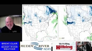
MRN Weather Update for Friday morning

From Meteorologist Brent Clair:
The line between a lot of snow and all rain is quite possible 10-15 miles either side of the Adams/Hancock County Line. Models are swinging the transition back and forth every run, so it is almost impossible to accurately forecast the setup.
Best forecast for now is snow beginning around 9-10 p.m. tonight. It may be mixed the further south in Adams Coutny you go. Snow will become more mixed with rain and eventually turn to all rain around 4-6 a.m. tomorrow morning.
Again, this may shift back and forth to an earlier switch or remaining all snow.
There is expected to be a lull in the precipitation between 6-9 a.m. then return as all rain till noon. As we pass noon, the cold air will come in on the back side and switch back to snow. There is the potential for some moderate amounts mid-afternoon to fall. It is hard to determine how the wet conditions beforehand will react with the new snow.
The afternoon snow will be a powdery consistency, and with strong winds it will not take much to reduce visibilities.
Again, this storm track is not confident at all. Any shift will drastically affect the forecast.
Schools – no recommendation at this time as the rain/snow line cannot be pinned down.
Road crews – snow then rain then snow and cold temps will challenge your efforts in keeping roads clear.

Miss Clipping Out Stories to Save for Later?
Click the Purchase Story button below to order a print of this story. We will print it for you on matte photo paper to keep forever.

